Communication dans le cadre de XXV ISPRS congress, 47th Canadian Symposium on Remote Sensing, in Toronto
Date : 4 -11 July 2026
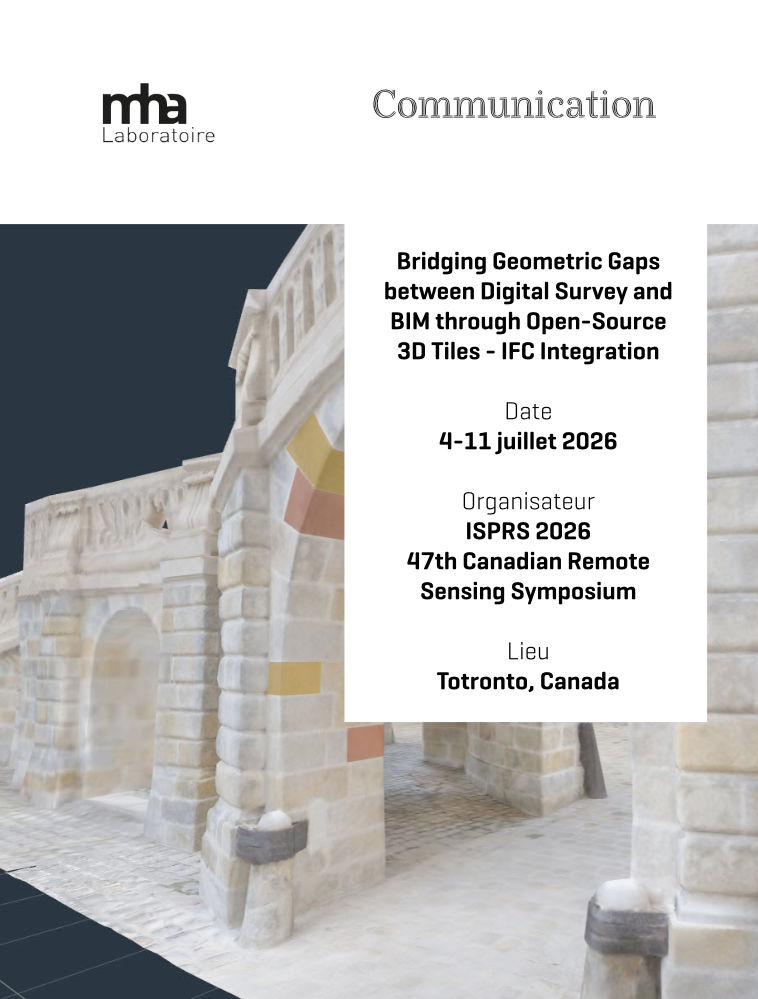
Title : Bridging geometric Gaps between digital Survey and BIM through open-source IFC-3D Tiles Integration
Auteurs : Raphaël Vouilloz1,2 Ken Percy2, Nicolas Arellano Risopatron2, Sabrina Liu2, Philippe Marin1, Stephen Fai2
1 Université Grenoble-Alpes, ENSAG, MHA (Méthodes et Histoire de l’Architecture) – Grenoble, France vouilloz.r@grenoble.archi.fr ; philippe.marin@grenoble.archi.fr
2 Carleton University, CIMS (Carleton Immersive Media Studio) – Ottawa, Canada kpercy@cims.carleton.ca ; narellano@cims.carleton.ca ; sliu@cims.carleton.ca ; sfai@cims.carleton.ca
Abstract : The adoption of innovative digital heritage workflows in the Architecture, Engineering, and Construction (AEC) sector faces significant challenges, particularly in integrating digital survey data with Building Information Modeling (BIM) into a unified model. This paper begins with a literature review that outlines the geometric and software-environment constraints complicating such integration and examines various proposed solutions, with particular attention to open-source tools and standard formats. Building on this foundation, the paper introduces an innovative two-stage method: (1) segmenting, classifying, and enriching digital survey data into a BIM model; and (2) developing a web viewer that hybridizes this BIM model with the original survey data. The proposed workflow relies exclusively on open-source tools and open standards, with Industry Foundation Classes (IFC) used as the native editing format. A seamless continuity is established between the Bonsai add-on for Blender, used as a BIM authoring environment, and the web library That Open Engine, which serves as a dissemination tool enabling interactive querying of BIM data within a web browser. This library shares a common dependency on Three.js with 3DTilesRendererJS, allowing the overlay of a tiled photomesh of the asset. This integration enables the combination of an accurate geometric and visual representation with structured metadata interaction within a unified web environment. Overall, the proposed approach provides a robust and flexible framework for supporting practical applications such as dissemination, documentation, and diagnostic studies of heritage assets.